Latitude: 52.8892 / 52°53'21"N
Longitude: -3.0342 / 3°2'3"W
OS Eastings: 330514
OS Northings: 332916
OS Grid: SJ305329
Mapcode National: GBR 74.Q1GD
Mapcode Global: WH89Q.CMDY
Pluscode: 9C4RVXQ8+M8
What3Words: stoops.gossip.swatting
Is the location marker in the wrong place? You can help fix that!
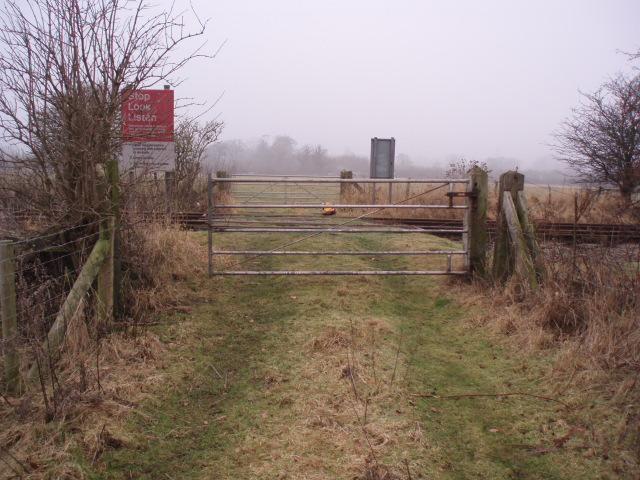
We don't yet have any user-contributed photos of Gobowen Loop Farm Level Crossing.