Latitude: 56.6409 / 56°38'27"N
Longitude: -3.6558 / 3°39'20"W
OS Eastings: 298546
OS Northings: 751125
OS Grid: NN985511
Mapcode National: GBR V1.CLKY
Mapcode Global: WH5MY.TBBV
Pluscode: 9C8RJ8RV+9M
What3Words: grips.insist.kind
Is the location marker in the wrong place? You can help fix that!
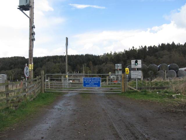
We don't yet have any user-contributed photos of Haugh Of Tullymet Level Crossing.