Latitude: 53.5977 / 53°35'51"N
Longitude: -2.8044 / 2°48'15"W
OS Eastings: 346859
OS Northings: 411539
OS Grid: SD468115
Mapcode National: GBR 8VVV.N1
Mapcode Global: WH86B.WTRS
Pluscode: 9C5VH5XW+36
What3Words: evening.fools.frost
Is the location marker in the wrong place? You can help fix that!
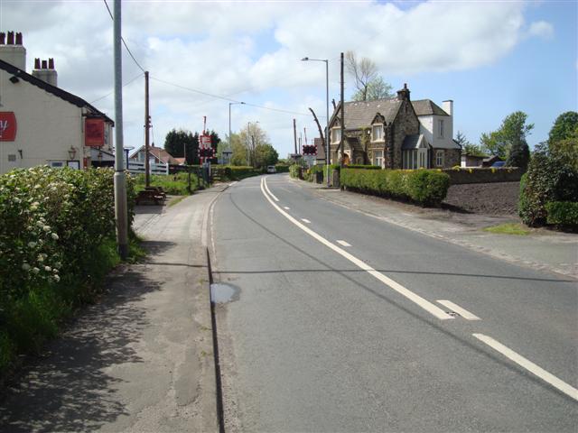
We don't yet have any user-contributed photos of Hoscar Level Crossing.