Latitude: 51.3699 / 51°22'11"N
Longitude: 0.2017 / 0°12'6"E
OS Eastings: 553352
OS Northings: 165722
OS Grid: TQ533657
Mapcode National: GBR TT.FHV
Mapcode Global: VHHP6.FTZR
Pluscode: 9F329692+WM
What3Words: since.hints.commented
Is the location marker in the wrong place? You can help fix that!
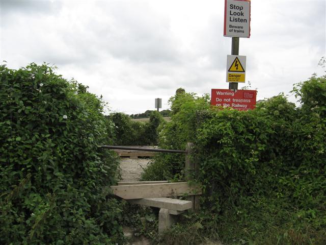
We don't yet have any user-contributed photos of Hulberry Level Crossing.