Latitude: 53.6535 / 53°39'12"N
Longitude: -1.4378 / 1°26'16"W
OS Eastings: 437254
OS Northings: 417596
OS Grid: SE372175
Mapcode National: GBR LVD6.J1
Mapcode Global: WHDCB.WFHG
Pluscode: 9C5WMH36+CV
What3Words: bins.foresight.thing
Is the location marker in the wrong place? You can help fix that!
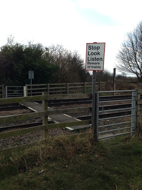
We don't yet have any user-contributed photos of Ings Level Crossing.