Latitude: 54.1605 / 54°9'37"N
Longitude: -2.6793 / 2°40'45"W
OS Eastings: 355739
OS Northings: 474063
OS Grid: SD557740
Mapcode National: GBR 9NQB.QB
Mapcode Global: WH83P.TPBD
Pluscode: 9C6V586C+57
What3Words: boomer.handicaps.invented
Is the location marker in the wrong place? You can help fix that!
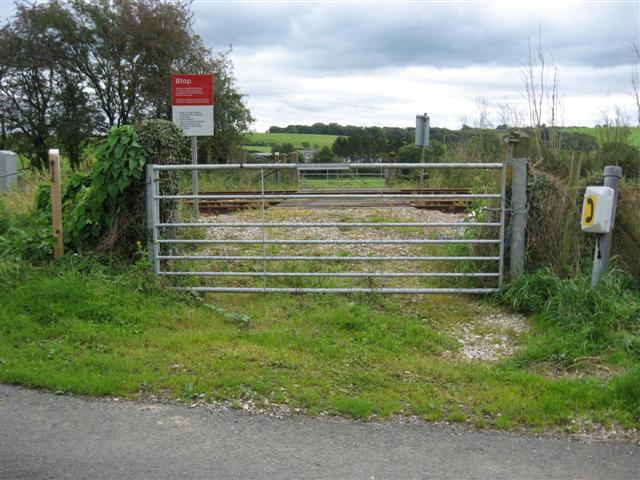
We don't yet have any user-contributed photos of Keerholme Level Crossing.