Latitude: 53.2489 / 53°14'56"N
Longitude: -1.8559 / 1°51'21"W
OS Eastings: 409709
OS Northings: 372446
OS Grid: SK097724
Mapcode National: GBR HZGW.Z1
Mapcode Global: WHCCY.GLFN
Pluscode: 9C5W64XV+HJ
What3Words: carefully.looked.bulge
Is the location marker in the wrong place? You can help fix that!
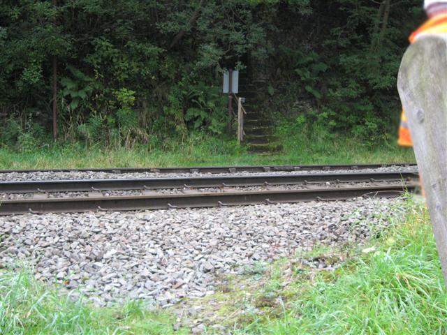
We don't yet have any user-contributed photos of King Sterndale Level Crossing.