Latitude: 56.7598 / 56°45'35"N
Longitude: -3.8226 / 3°49'21"W
OS Eastings: 288672
OS Northings: 764619
OS Grid: NN886646
Mapcode National: GBR JBXV.KQP
Mapcode Global: WH5M9.7CZ5
Pluscode: 9C8RQ55G+WX
What3Words: deciding.leaves.camcorder
Is the location marker in the wrong place? You can help fix that!
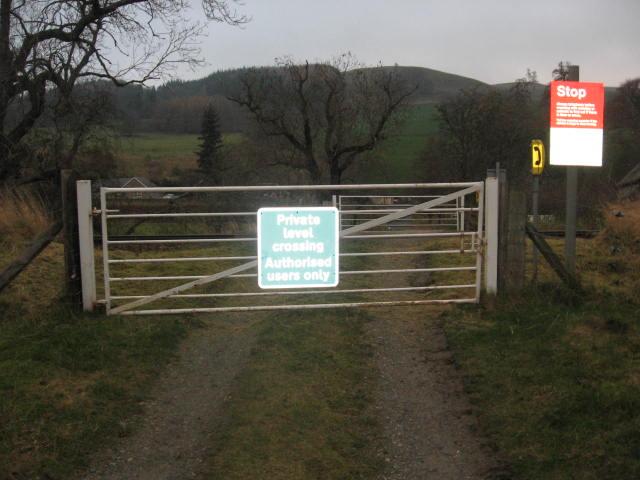
We don't yet have any user-contributed photos of Kings Island Level Crossing.