Latitude: 52.4629 / 52°27'46"N
Longitude: -4.0245 / 4°1'28"W
OS Eastings: 262555
OS Northings: 286921
OS Grid: SN625869
Mapcode National: GBR 8V.KV27
Mapcode Global: VH4F6.6C89
Pluscode: 9C4QFX7G+56
What3Words: else.redeeming.entrust
Is the location marker in the wrong place? You can help fix that!
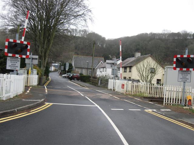
We don't yet have any user-contributed photos of Llandre Level Crossing.