Latitude: 52.8597 / 52°51'34"N
Longitude: -1.3032 / 1°18'11"W
OS Eastings: 447014
OS Northings: 329357
OS Grid: SK470293
Mapcode National: GBR 7H6.MCP
Mapcode Global: WHDH8.YDM2
Pluscode: 9C4WVM5W+VP
What3Words: dated.lifestyle.classmate
Is the location marker in the wrong place? You can help fix that!
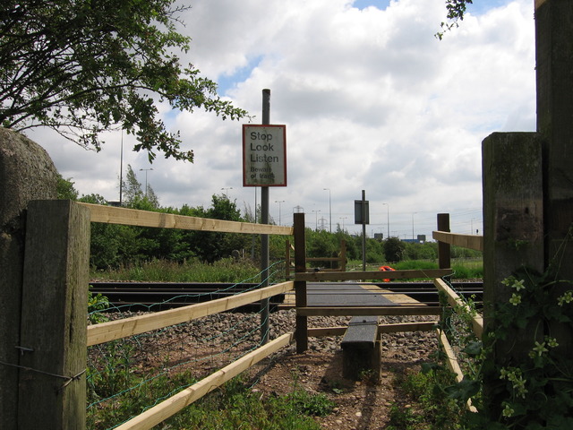
We don't yet have any user-contributed photos of Lockington Level Crossing.