Latitude: 54.6696 / 54°40'10"N
Longitude: -3.55 / 3°32'59"W
OS Eastings: 300136
OS Northings: 531601
OS Grid: NY001316
Mapcode National: GBR 3GNF.7W
Mapcode Global: WH5YH.FWSM
Pluscode: 9C6RMF92+R2
What3Words: neckline.because.remembers
Is the location marker in the wrong place? You can help fix that!
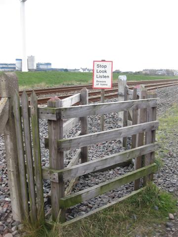
We don't yet have any user-contributed photos of Lowca Lane Level Crossing.