Latitude: 52.364 / 52°21'50"N
Longitude: -1.5525 / 1°33'8"W
OS Eastings: 430569
OS Northings: 274089
OS Grid: SP305740
Mapcode National: GBR 5L6.Q9T
Mapcode Global: VHBX4.1VM4
Pluscode: 9C4W9C7X+J2
What3Words: store.flame.arrive
Is the location marker in the wrong place? You can help fix that!
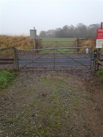
We don't yet have any user-contributed photos of Millburn Grange Level Crossing.