Latitude: 52.9133 / 52°54'47"N
Longitude: -1.9665 / 1°57'59"W
OS Eastings: 402348
OS Northings: 335092
OS Grid: SK023350
Mapcode National: GBR 38F.7NN
Mapcode Global: WHBDH.R1RG
Pluscode: 9C4WW27M+89
What3Words: clash.exotic.swam
Is the location marker in the wrong place? You can help fix that!
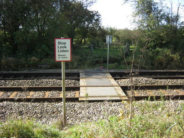
We don't yet have any user-contributed photos of Moores Level Crossing.