Latitude: 51.7577 / 51°45'27"N
Longitude: -4.0076 / 4°0'27"W
OS Eastings: 261532
OS Northings: 208463
OS Grid: SN615084
Mapcode National: GBR GX.2F0B
Mapcode Global: VH4JP.H26W
Pluscode: 9C3QQX5R+3X
What3Words: strongly.should.texts
Is the location marker in the wrong place? You can help fix that!
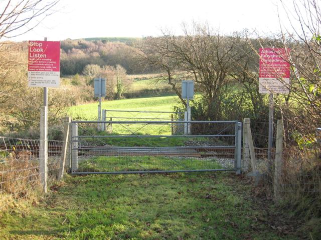
We don't yet have any user-contributed photos of Penbontnewydd 2 Level Crossing.