Latitude: 53.407 / 53°24'25"N
Longitude: -1.0147 / 1°0'52"W
OS Eastings: 465598
OS Northings: 390469
OS Grid: SK655904
Mapcode National: GBR PYC1.3F
Mapcode Global: WHFFV.DM1H
Pluscode: 9C5WCX4P+Q4
What3Words: vies.mystified.signs
Is the location marker in the wrong place? You can help fix that!
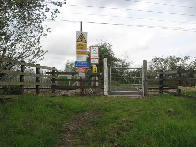
We don't yet have any user-contributed photos of School Lane Level Crossing.