Latitude: 51.4366 / 51°26'11"N
Longitude: 0.4368 / 0°26'12"E
OS Eastings: 569467
OS Northings: 173662
OS Grid: TQ694736
Mapcode National: GBR NMN.WT2
Mapcode Global: VHJLL.J581
Pluscode: 9F32CCPP+JP
What3Words: candle.object.paper
Is the location marker in the wrong place? You can help fix that!
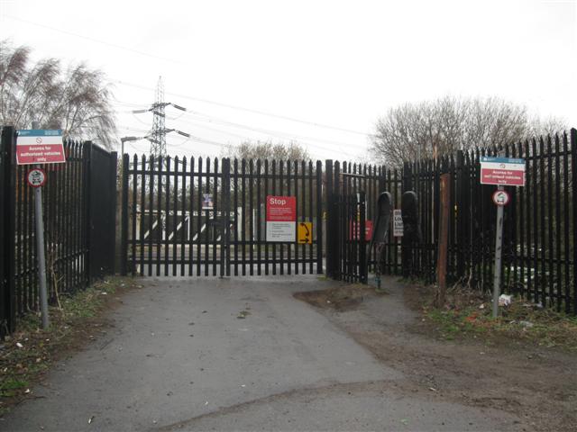
We don't yet have any user-contributed photos of Shornemead Level Crossing.