Latitude: 52.6174 / 52°37'2"N
Longitude: 1.4512 / 1°27'4"E
OS Eastings: 633720
OS Northings: 307773
OS Grid: TG337077
Mapcode National: GBR XK9.V0N
Mapcode Global: WHMTQ.8G9S
Pluscode: 9F43JF82+XF
What3Words: compelled.quibble.actors
Is the location marker in the wrong place? You can help fix that!
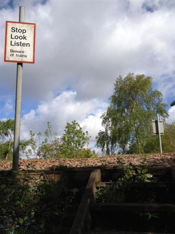
We don't yet have any user-contributed photos of St Michaels Way Level Crossing.