Latitude: 51.0122 / 51°0'43"N
Longitude: 0.7981 / 0°47'53"E
OS Eastings: 596374
OS Northings: 127374
OS Grid: TQ963273
Mapcode National: GBR RYB.JKZ
Mapcode Global: FRA D6KF.NRZ
Pluscode: 9F322Q6X+V6
What3Words: grins.crackling.plotted
Is the location marker in the wrong place? You can help fix that!
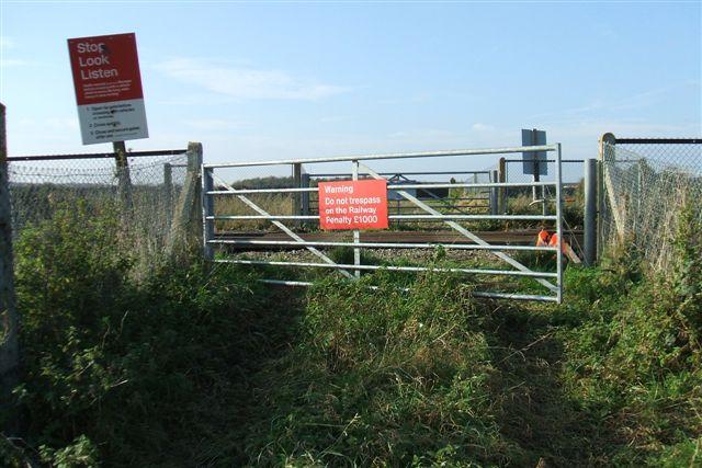
We don't yet have any user-contributed photos of Swallow Tail Bridge Level Crossing.