Latitude: 51.3342 / 51°20'3"N
Longitude: 0.8046 / 0°48'16"E
OS Eastings: 595464
OS Northings: 163196
OS Grid: TQ954631
Mapcode National: GBR RTH.686
Mapcode Global: VHKJM.WQQJ
Pluscode: 9F328RM3+MR
What3Words: circles.ballooned.tweed
Is the location marker in the wrong place? You can help fix that!
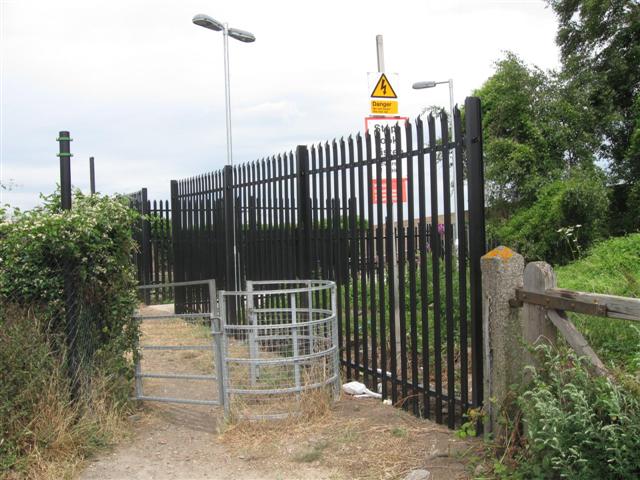
We don't yet have any user-contributed photos of Teynham West Level Crossing.