Latitude: 52.5595 / 52°33'34"N
Longitude: -1.2919 / 1°17'30"W
OS Eastings: 448102
OS Northings: 295974
OS Grid: SP481959
Mapcode National: GBR 7LW.J67
Mapcode Global: WHDJN.4X2Q
Pluscode: 9C4WHP55+Q7
What3Words: unwound.nobody.pavilions
Is the location marker in the wrong place? You can help fix that!
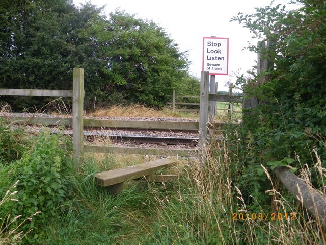
We don't yet have any user-contributed photos of Thorneyfields Farm No.2 Level Crossing.