Latitude: 51.7845 / 51°47'4"N
Longitude: -4.713 / 4°42'46"W
OS Eastings: 212967
OS Northings: 213022
OS Grid: SN129130
Mapcode National: GBR CX.YPNS
Mapcode Global: VH2P6.8D9T
Pluscode: 9C3QQ7MP+RR
What3Words: unwind.committee.solving
Is the location marker in the wrong place? You can help fix that!
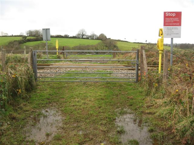
We don't yet have any user-contributed photos of Upper Chapel Hill Farm Level Crossing.