Latitude: 52.0182 / 52°1'5"N
Longitude: -0.6537 / 0°39'13"W
OS Eastings: 492481
OS Northings: 236389
OS Grid: SP924363
Mapcode National: GBR F1Y.HJP
Mapcode Global: VHFQQ.MJ8P
Pluscode: 9C4X289W+7G
What3Words: specifies.trustees.retrieves
Is the location marker in the wrong place? You can help fix that!
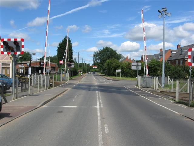
We don't yet have any user-contributed photos of Woburn Sands Level Crossing.